Bait digging is a particular issue on certain shores in Wales, especially where the volume of digging is causing long term changes and damage to the habitat. Natural Resources Wales (NRW) wanted to investigate ways of assessing and monitoring this impact.
The aim of the project was to establish the suitability of aerial imagery taken from Unmanned Aerial Vehicles (UAV) to investigate the spatial and temporal extent of bait digging at selected sites in Wales.
Sites were flown at low tides and ortho-rectified seamless mosaics produced. Shore survey and ground truthing was also undertaken, and control holes dug to investigate the persistence of bait digging evidence on different shores. The shores were revisited to assess whether the control holes were still visible, to give an indication of the persistence of damage. The ortho-rectified imagery was used to create bait digging intensity maps on a variety of shore types.
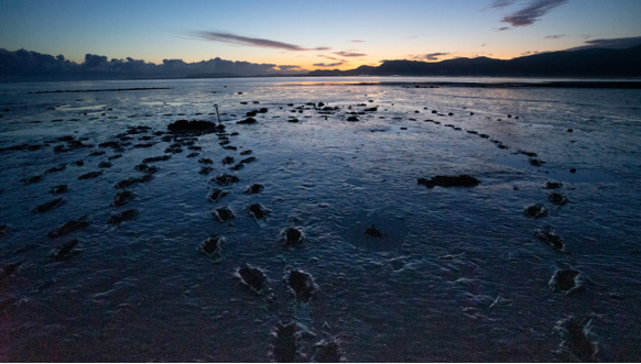 Bait digging at low tide
We also investigated the potential to use localised terrain models to help identify areas of bait digging.
See our air survey pages for our air survey capabilities.